- The Fast Stuff - February 15, 2026
- Held Spring Ride Gloves - January 5, 2026
- 100 Motorcycle Tours - December 27, 2025
Well time to pack the bike and move to Kanagawa region but I am taking a couple of days to get there so I can detour to Nagano and the high mountains. I will miss seeing all the beautiful mountain streams in the Aichi and Gifu area.

Leaving via Gifu I take one more go at seeing Mt Norikura via route 84 on the western side but am blocked about half way up. I already tried the Norikura skyline which oddly banned private vehicles some years back with an excuse the emissions were affecting the environment but then allowed diesel buses and taxis to still traverse the highest road in Japan. Naturally the real deal is money, well leaner times are here so maybe economic forces will effect a change in the future. Below. I enjoyed the roads along the way that float in the forests.
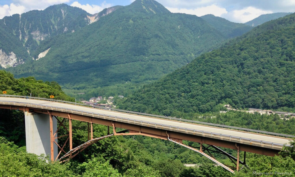
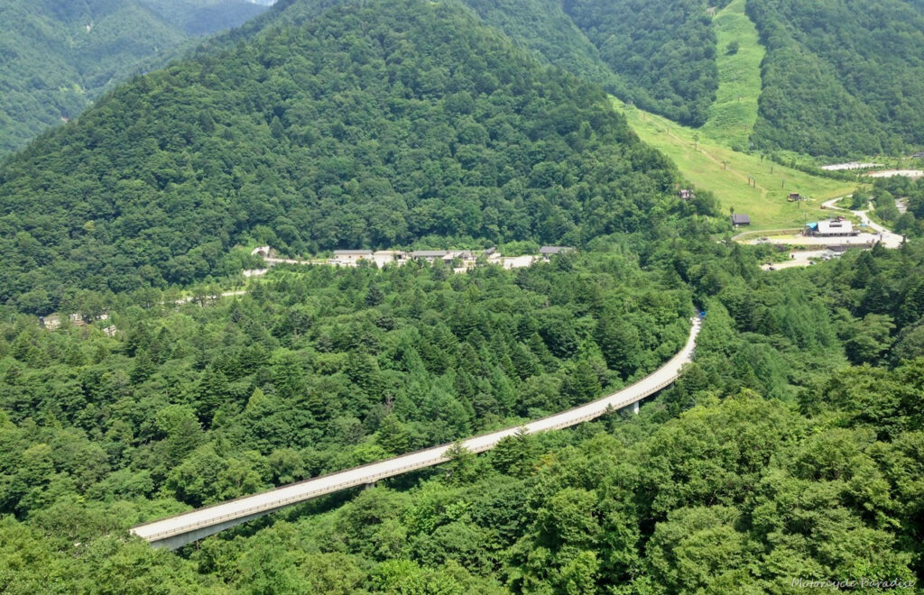
Below. A beautiful ride west on route 156 to Matsumoto. Look carefully you can see Nagawado dam up the valley.
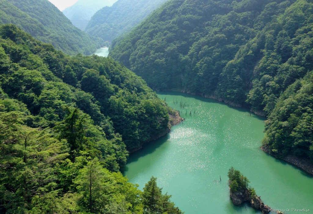
This was followed by Midono dam and Inekoiki dam below that as is the Japanese way to tap a river a few times on its path from the alps.
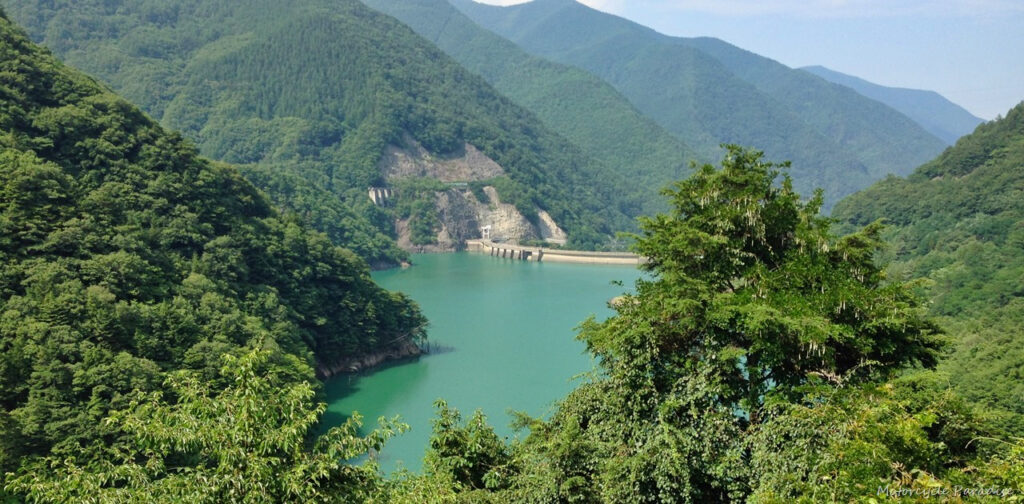
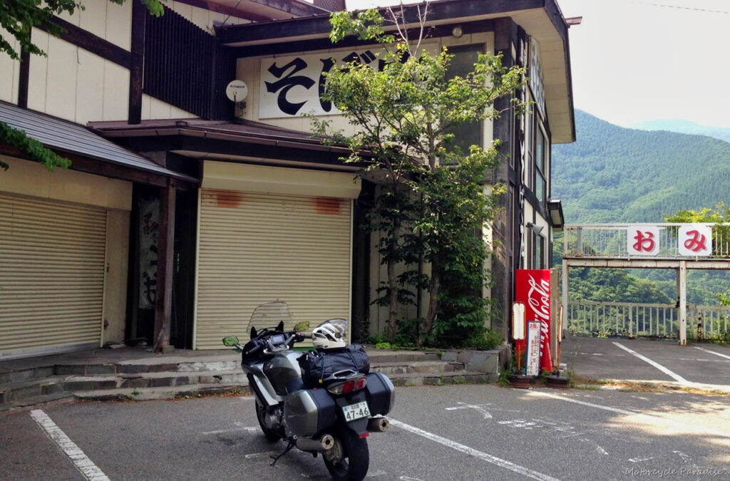
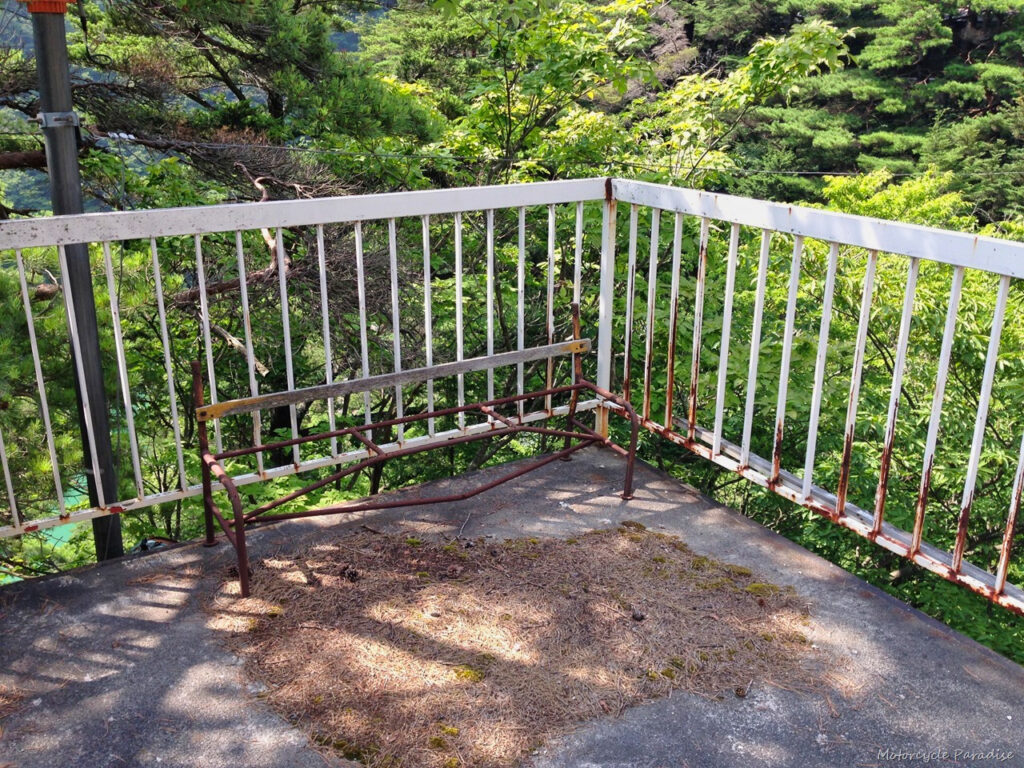
I stopped at another abandoned cafe in between these dams which had a superb vantage point overlooked the rivers below. A beautiful spot but sadly no longer a viable business, even the drink machine was switched off which is rare.
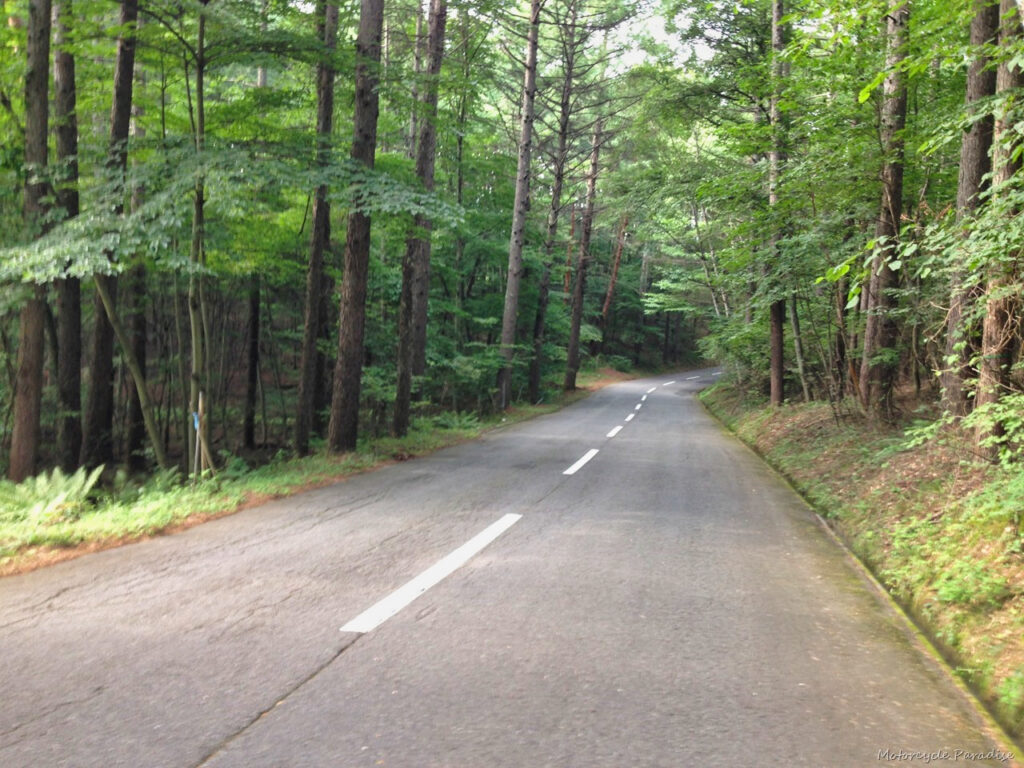
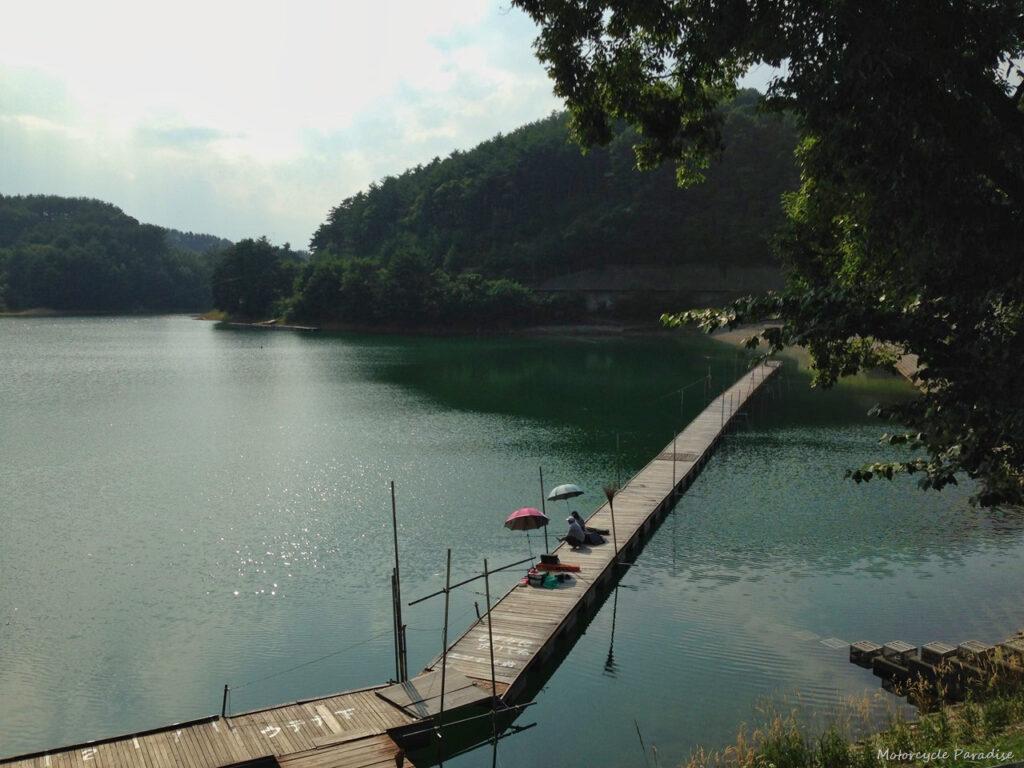
Some very heavy traffic in Matsumoto and I was sweltering in the afternoon summer heat. Was very pleased to exit and climb rapidly to cooler air on the Utsukushigahara skyline in the Nagano alpine region. A superb road in the forest with views down into the valleys that I just could not capture well in my photos. How about one of a small lake where I stopped for a break at another abandoned cafe – but with a working drink machine.
I then rode on to arrive at the highlight of the trip for me. The Venus line, location of the photo that has been my blog header sine 2008 when I first rode in Japan. The photo in my blog header was taken just as a quick snap as I rode up and I never took much time to look for the best spot. Seems I got it right the first time by sheer chance as on this ride down I stopped with time to look more and the best photo is below, exact same spot 6 years later +/- a few metres!
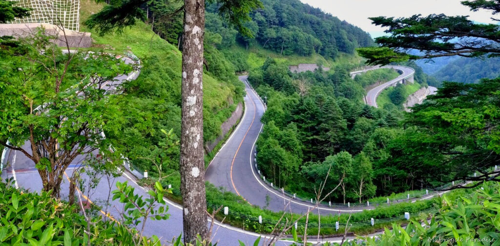
The Venus line is an incredible road and beautiful ride offering not just the twisty road above but also sweeping curves along mountain ridges before dropping down to the valley below.
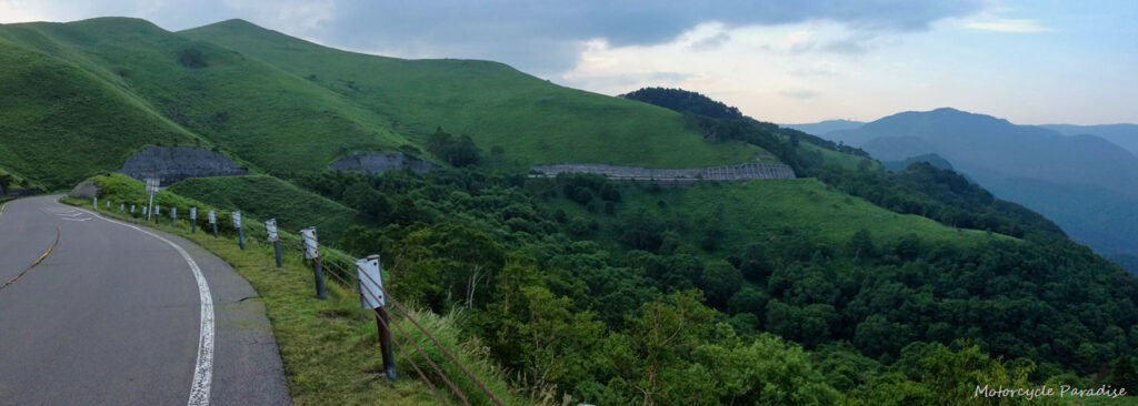
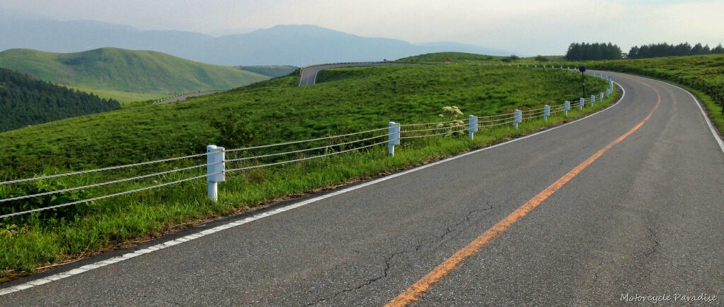
About now it was getting late but I still had a long way to go. The mountain behind the lake in the photo below was between me and my hotel for the night and it was already 5.00pm. The ride over that was on what is part of route 299 and it was quite good in sections although too many switch back/hair pin corners which made for slow going and the light had faded so I never took any photos. It was dark by the time I was down the bottom and 7.00pm before I reached the hotel. The distance for the day was reasonable but a late start and many slow sections during the day brought my average speed well down. Todays route can be found here.
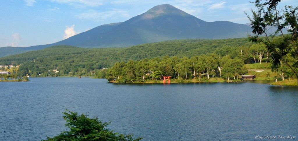
Day two I went to revisit another place from 2008, Mt Shirane volcano. I explored the beautiful high country on the Tsumagoi panorama line on the way there and came across this odd place.
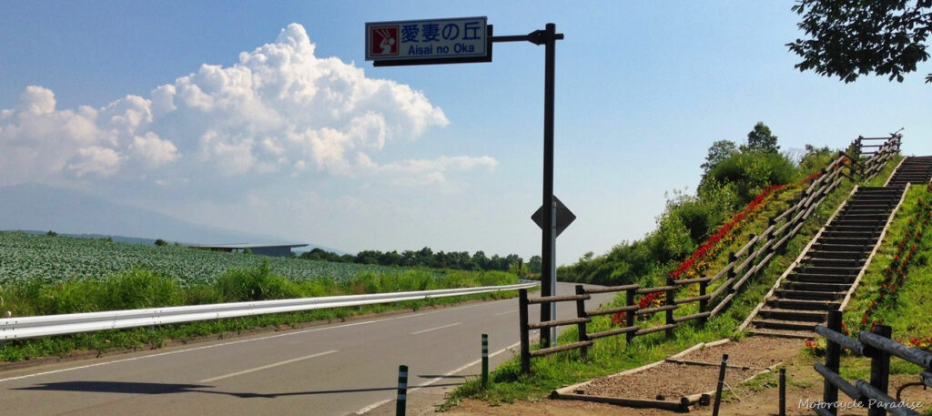
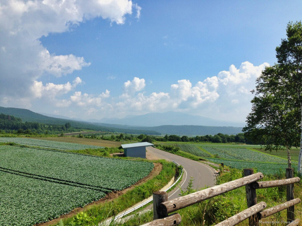
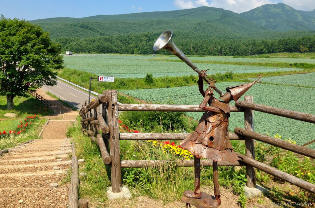
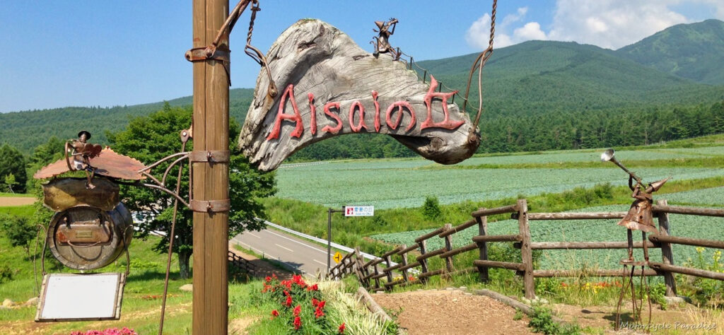
I think you can yell to the mountain, something I have seen Japanese people do from lookout points, the sign below might be connected, perhaps declare your love, not really sure. But the view was amazing and very tranquil.
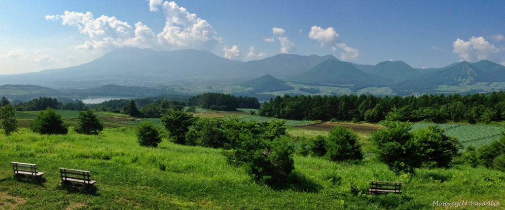
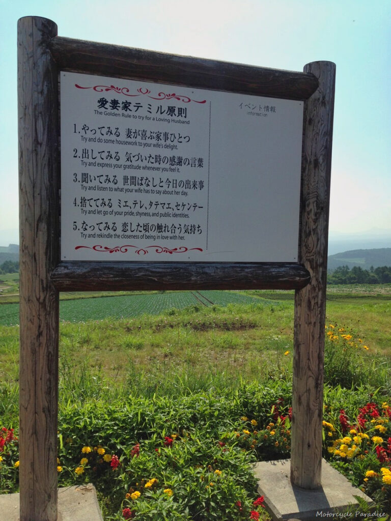
What a great find. I could have stayed and soaked up the view for ages but I had a lot of places to ride and the roads at Mt Shirane are just as beautiful a view to a rider.
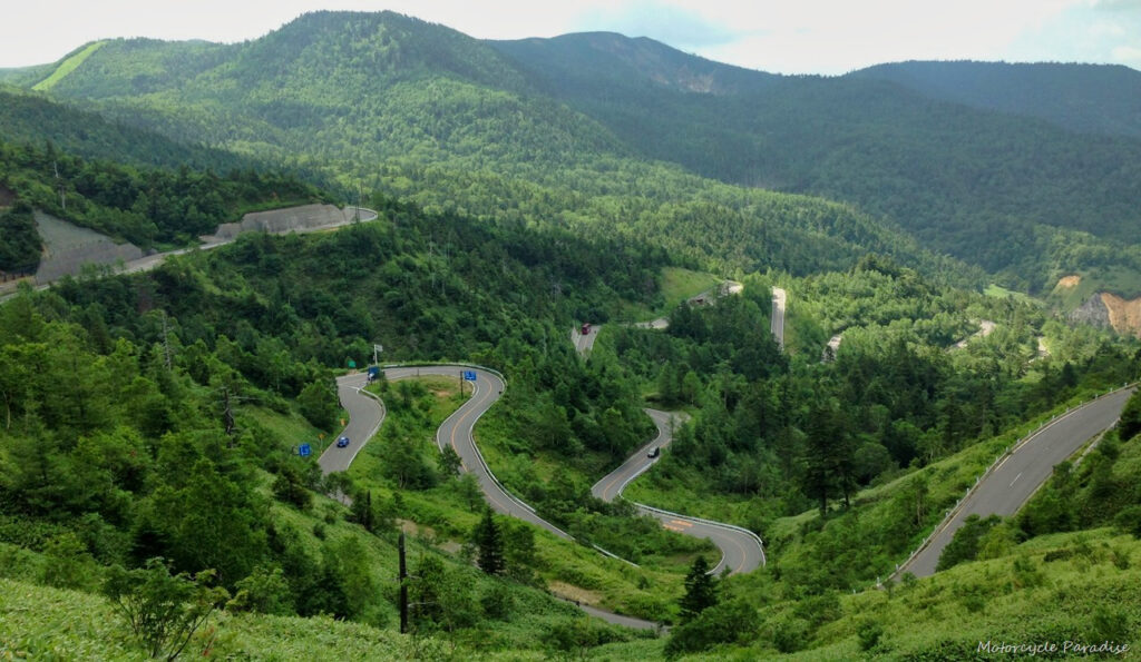
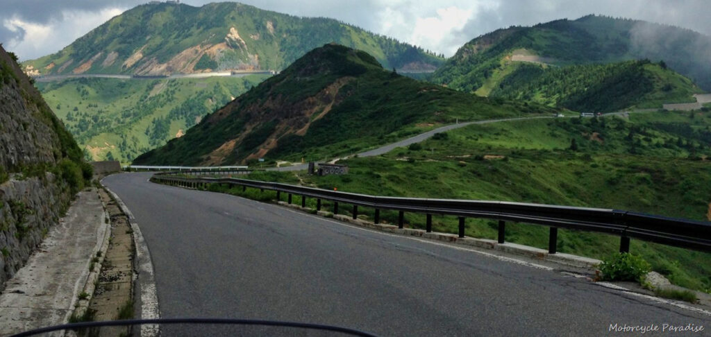
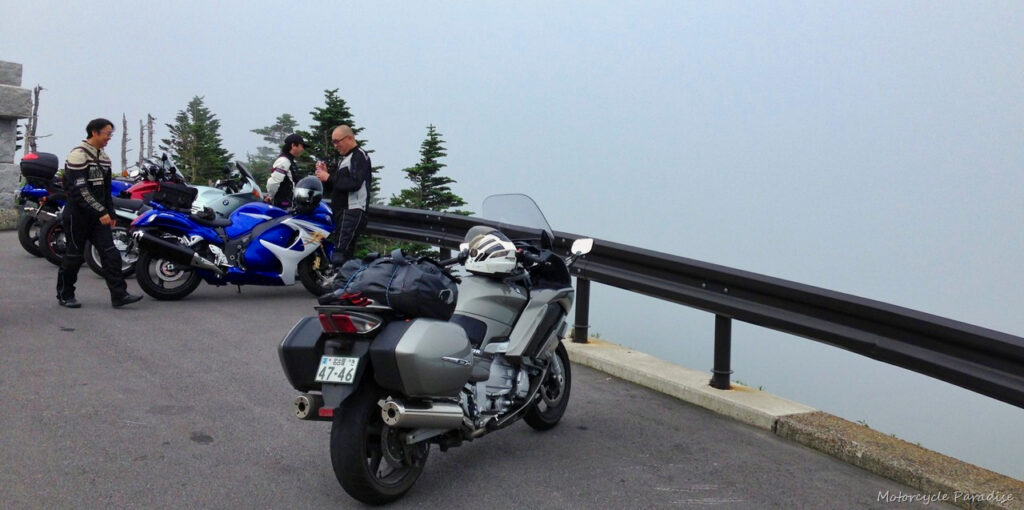
Above the clouds and the northern descent below.
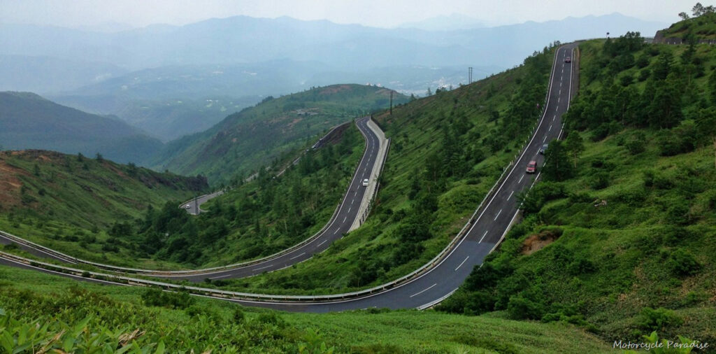
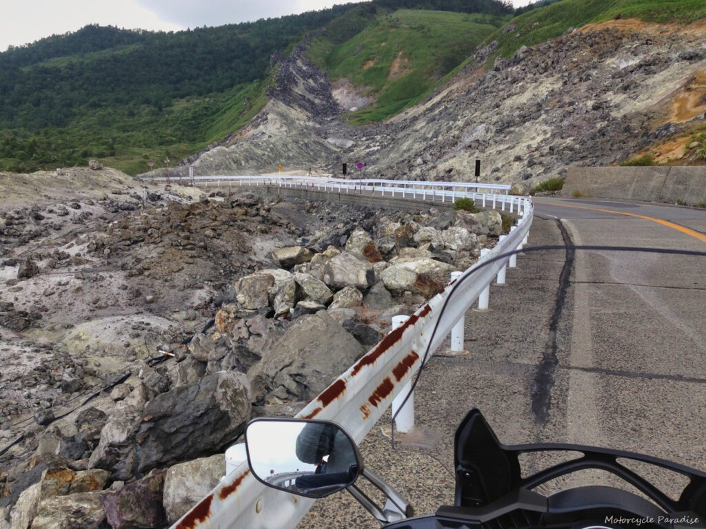
There was this sulphur lunar area where I think the signs say don’t stop but I just held my breath and got the shot for you guys. Riding in a big loop back, west, south and back to where I started near Saku I explored a few scenic routes and am not sure if I was still in Nagano or crossed over into Gunma district but this area is all nice riding. I did my usual picnic lunch stop in a rest area on route 54 which is a terrific sweeping climb out of a valley.
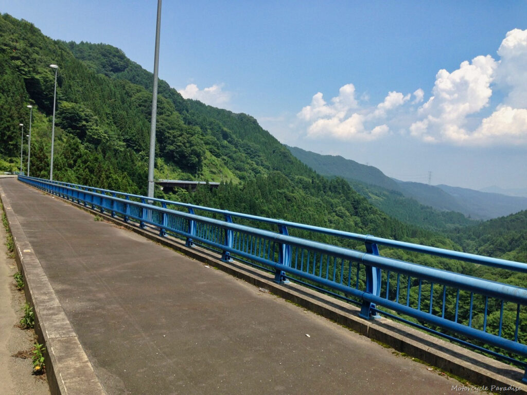
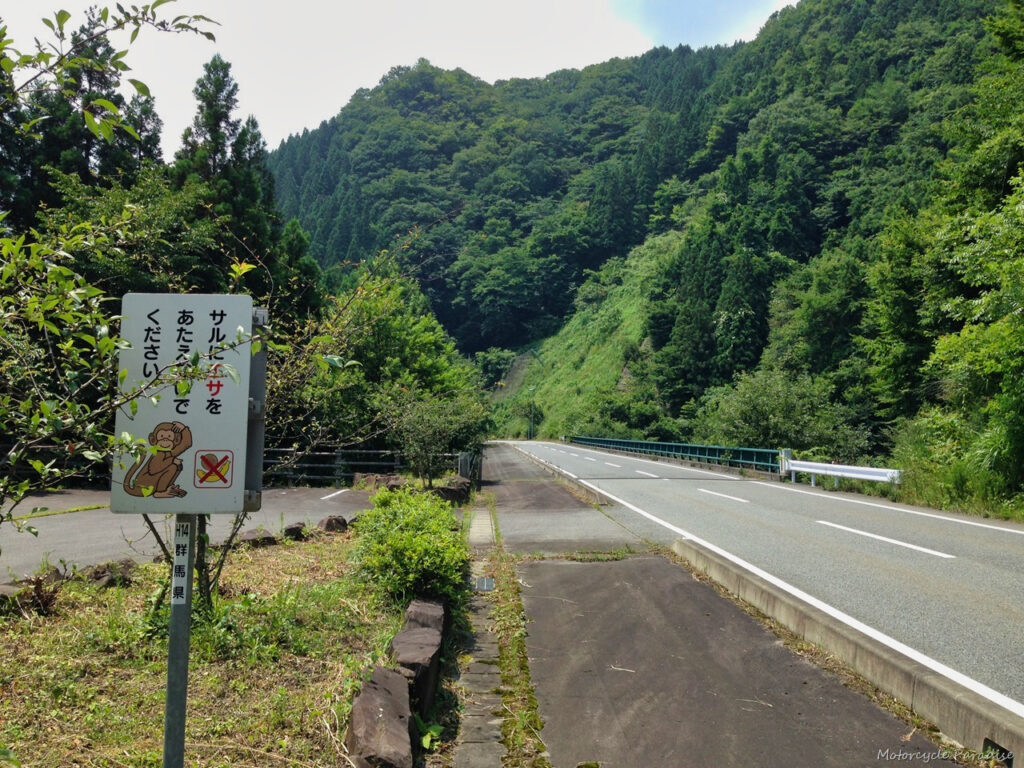
From here I rode south on the Nihon Romantic route which was nice but a bit slow going in places, apparently the royal family holiday in this area and there are some pretty villages with interesting shops and cafes which would be nice to visit in off season. I continued south later joining the Jumo Sanzan Panorama highway (route 196) which was excellent however there was a bit of light rain which had fallen just before my arrival and the roads were slippery and slow going so no photos but couple from either side.
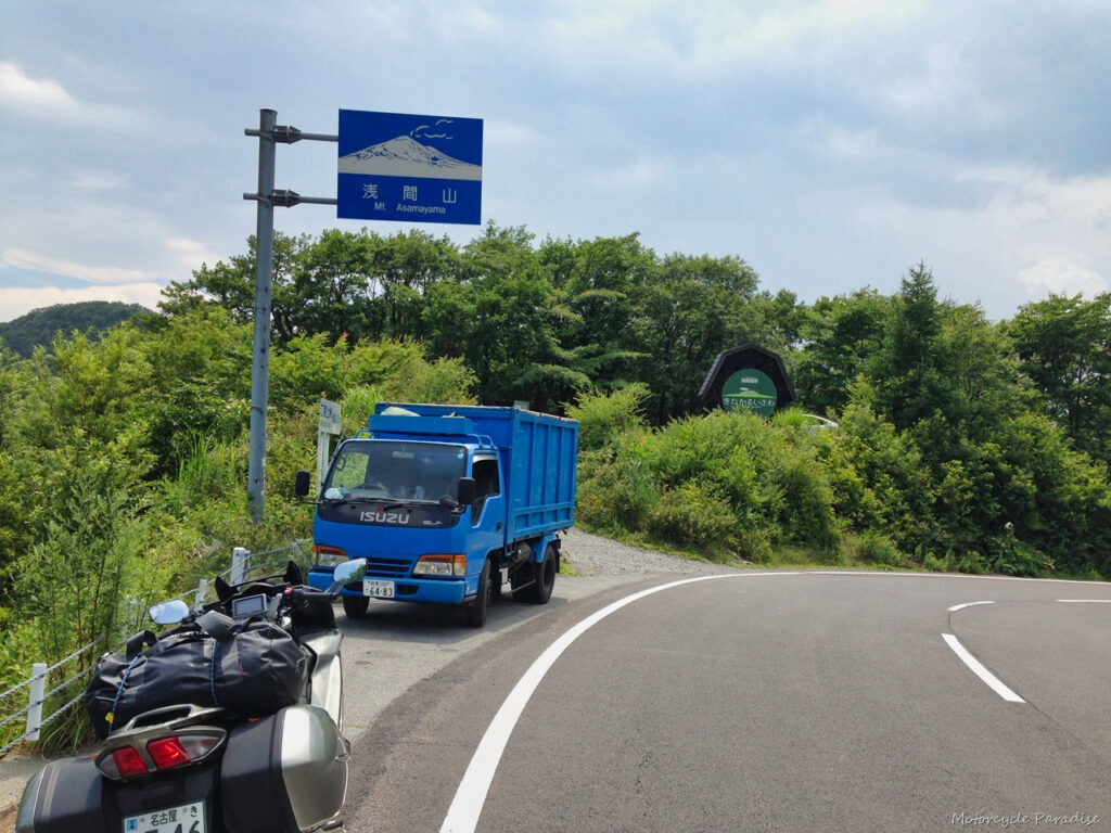
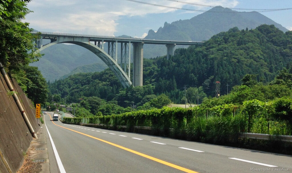
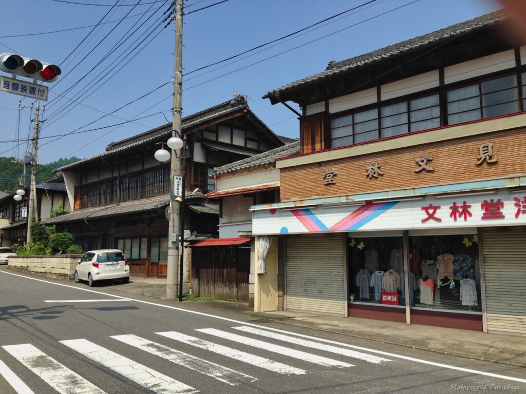
I re-joined route 299 that I had ridden part of yesterday further along to the west and then rode this for considerable distance continuing west. It is interesting on these minor routes that have long since been bypassed as they offer a window into the past. I stopped at a small town for a comfort break and like all these small towns most everything is shuttered, just a lone clothing store and couple of others open. I really like these small towns I need to be able to communicate better so I can find out the stories of the areas and towns I am visiting in future.
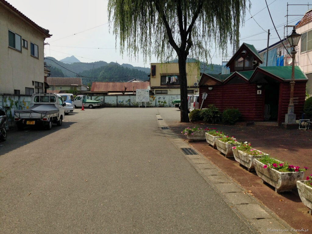
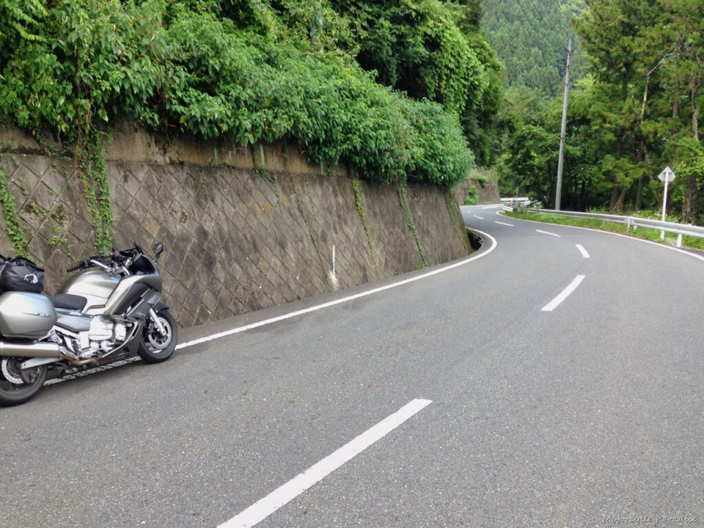
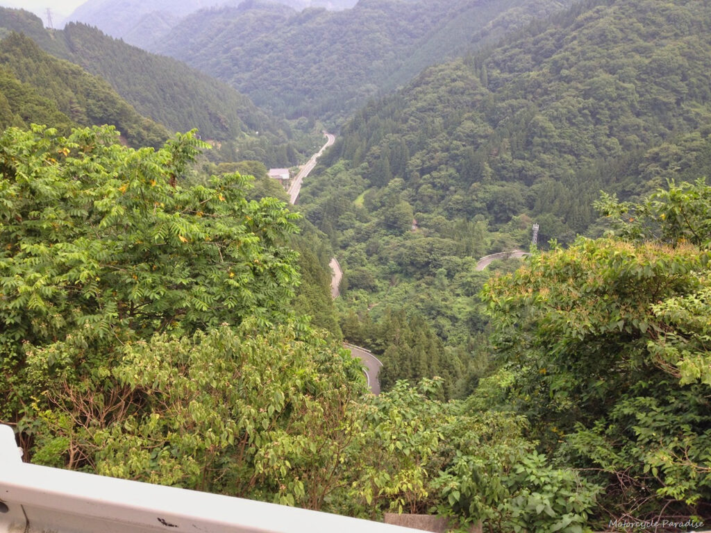
Back on the 299 I am starting to get fatigued, the corners just never ever end, I am dreaming of a bit of straight road and realise I better get off the bike and take a stretch (above). I walk to side to see the road ahead (below)
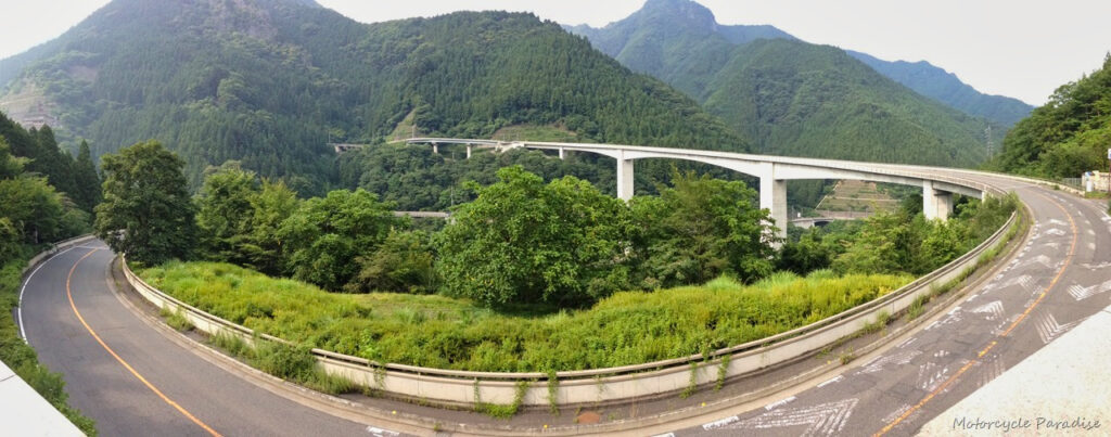
Turning south off the 299 onto the 140 I am heading towards the Karisaka tunnel which is 6.6km long! Japan has even longer tunnels 10 and 11 km long but this one is not on a expressway but on minor country road and was another one of many shake my head at the infrastructure moments I have experienced here. The approach is also amazing and I imagine this stuff was all built in the bubble economy days when the sky was the limit. The panorama photos are not so clear but it is a tall circular elevated road bridge below a huge dam.
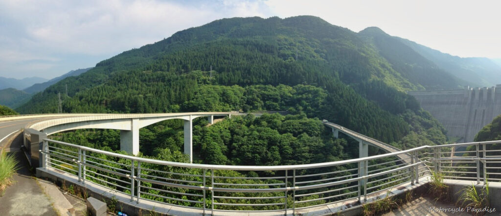
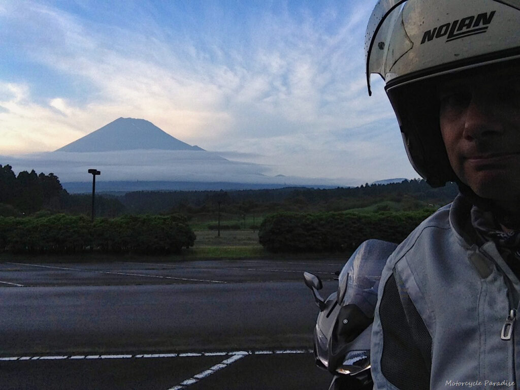
Exiting the other side is a lovely valley which winds gently down to Yamanshi and then I ran into heavy traffic and leaving that city some light rain as I approached Mt Fuji so did not take any more photos as while moving I found I was not getting wet so just rode on. Just managed to get a glimpse of Mt Fuji in the last light of the day a few km from my hotel. Todays route can be found here.
Day three. Last day and I headed off towards Yokohama area. My riding options from there are sadly not as varied as they were in Nagoya but I do have access to the Izu peninsular area and the roads there are said to be very good. The Izu skyline first is a really well surveyed mountain road. I enjoyed the FJR on this road considerably more than elsewhere since there appears to be no decreasing radius corners and nothing too tight or off camber. Nice views too but a lot of jackasses on sports bikes and few car clubs and this was a week day so weekends would be no go zone for me as just prefer to be away from all that now despite being a jackass myself when I was younger.
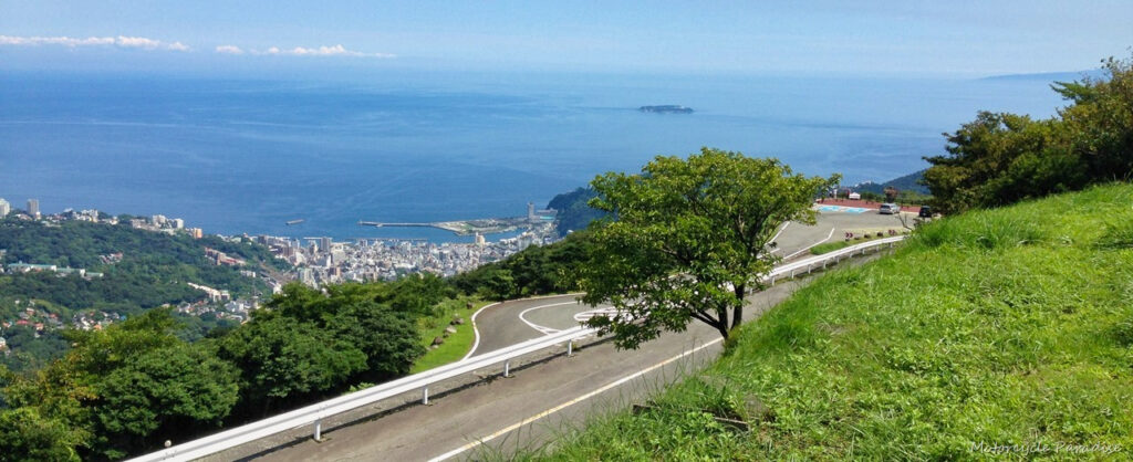
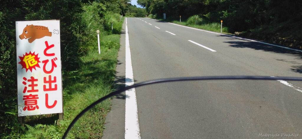

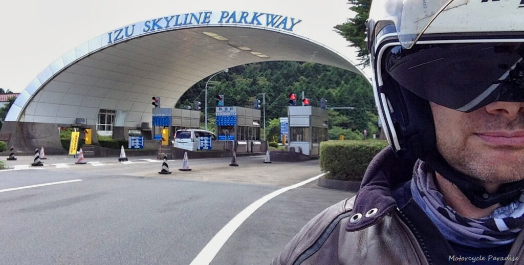
Other roads in the area include the Toyo Tyres turnpike below two photos.
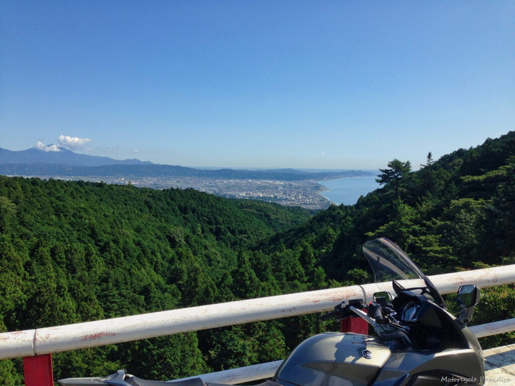

And the Hakone Skyline next two photos. Below was taken on other side of lake in the above photo.
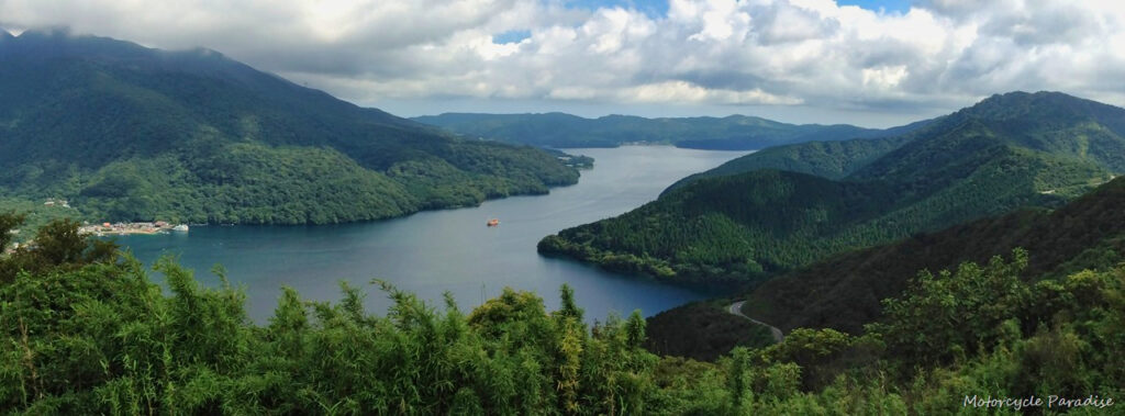
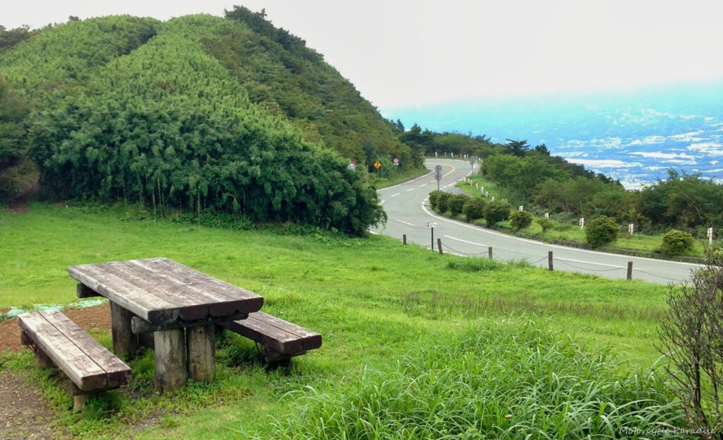
Nice albeit short roads with a few good lookout spots to stop, so I at least have one mountain area within day trip distance from me. Beyond that I will now be looking at longer rides over a few days to get to riding areas which I hope will not prove to be too difficult. It makes me wonder about the FJR which I find too heavy on mountain roads but excellent to cover lots of miles to get to said mountain roads. Hmm what to do about it, well that’s another blog post I guess.


hmmm, re fjr, i can imagine. for me; heavy + mountain roads = tired 😉
thanks for sharing such breath-taking pics! i must say, outstanding roads you've got currently!
Some excellent roads in these pictures warren. I think your first blog header pic is better than the new one you took. From these photos and the last few posts you have done I would probably be mistaken for thinking that Japan is a sparsely populated country. I'm guessing most people live in the cities. It would be handy if you could put up a map of the areas you are traveling in so we know where you are, as I'm sure like your other readers we don't really know much of Japan geographically speaking.
That is an excellent idea. I just added some routes and I would like to create a custom map that shows the best roads I have discovered. Still researching how to do that.
Google maps can do it all for you, you can get the embed code and put it straight into the blog.
I have added my routes each day to my posts, they are shown in orange text which takes you to the map on ride with gps. I used to use the motowhere site which has a embed map output but ride with gps does not offer it so far.
Looks like Japan has some really nice roads, too. Great pics!
thanks for sharing this nice informative post!
Great write up. It looks like you may have gone starving for much of this trip though! Are there any posts describing must-eat places along a longish ride through Japan? I am heading there next month and will be very sad if all the food is closed up.
Very nice pics though, curious what could be done in 9 days as a someone who hasn't rode too much, longest being 300mi in one day I think.
You could see quite a bit with even just a week. Off the expressways you will struggle to cover more than 400km a day so keep that in mind. However say a couple thousand km loop from Tokyo still covers a lot of ground, even better would be to ride from another city such as Osaka or Nagoya. October is perfect timing,
alas the weather was not so good October with two typhoons well past the rainy season. Hope you could still do your ride.