Latest posts by Iron Chef (see all)

I spent a bit of time on Google maps last night to pick some roads less traveled in my favorite part of the world between Murwillumbah and Lismore then worked out a way to link them to end up at a pub for lunch and then plotted that into my GPS. I have thus far never really felt a need to have the GPS navigate for me and it just sits at home when I ride but today was via some roads that probably would not be sign posted which could get tricky.
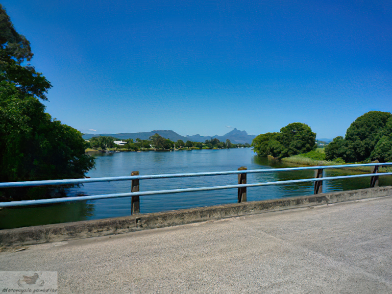
Tweed river, Condong.
Starting with Currumbin Valley is hard to beat, the road is a top ride, scenic and delivers you over the border before you know it. Then instead of riding via Muwillumbah I veered sideways to visit Condong then before Murwillumbah turned into Reserve Creek Road which climbs up the ridge you can see to the east offering superb views and some excellent curves on what is surprisingly good road.
That unfortunately then ends and you have two choices – dirt or dirt. Now I hadn’t noticed this on Google street view so with a 50/50 chance of which road would be the least amount of unsealed road I choose the wrong one. My route map (later in post) shows the way I should have gone (and had planned to) towards Round Mountain and Hastings Point however I went south on Cudgera Creek Road. So I cut out the coastal section then went on to Mooball. (fuel there but cafe still closed)
Riding south I planned to go via the old highway/Tweed Valley way as far as possible before joining the highway for last bit south however the GPS had different ideas and rerouted me onto the highway much too soon. I guess the nature of these devices is to try take you the best route rather than zig zag along the side of a highway so I should have put more waypoints in the route.
Leaving the highway via Kennedy drive ran into more dirt. The previous exit would work better so I have placed that into the route to show you the sealed way to go. Anyway soon back on tar at Possum Shoot road – readers may recall this road was a feature in a post a couple of years back. A steep winding climb brings you to a superb vantage point in the hills behind Byron Bay.
Back on familiar roads to Federal for a drink and rest break. Club Fed cafe has closed down it seems which is a real shame. After the break on to Eureka then over to Rosebank and south to Dunoon then got a bit lost trying to find the road to The Channon as by now the GPS had gone flat. Grr, so much for the claimed 4hrs battery life – serves me right for not bringing the power cable. Anyway hey technology abounds these days – so just look up Google maps on the iphone.
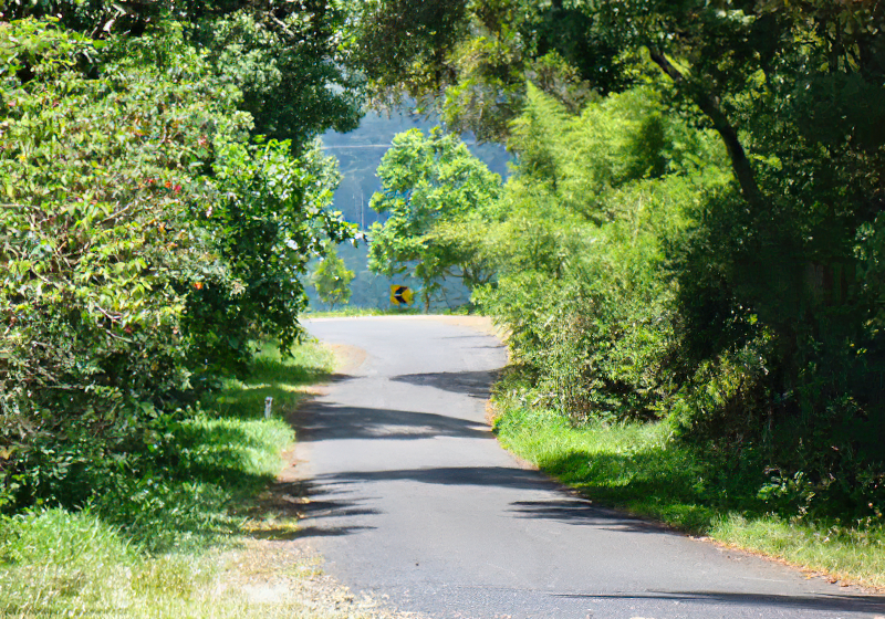
You could ride all day on near deserted country roads around here.
So after a detour via Keerrong which the Google maps say you can’t actually do I got to The Channon. Nice looking pub there in the middle of nowhere, I saw a few people out the back of it eating so am going to pencil in a lunch there in the future. Leaving there the Turntable creek road over to Nimbin is a beauty! My mate tells me like many roads in that area it was gravel in part until recently so we just got lucky to time to visit after it has been all sealed.
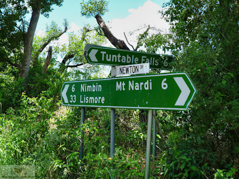
Took a quick detour up Mt Nardi, it is quite high but heavily forested so the views are restricted.
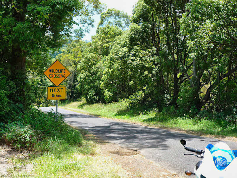
Will revisit this area to capture it better in the future.
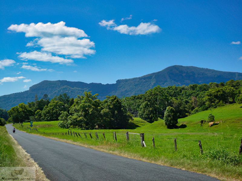
Numinbah Valley
Fueled up on the outskirts of Nimbin and then took the superb Stoney Shute road to join on to the Kyogle – Murwillumbah road and enjoyed a bit of fun with my mate for a brisk ride to Uki.
After a late lunch I again did the Numinbah Valley ride in reverse and again confirmed it rides much better in that direction for me. Despite it being a stinking hot day, turned out to be a very good ride.
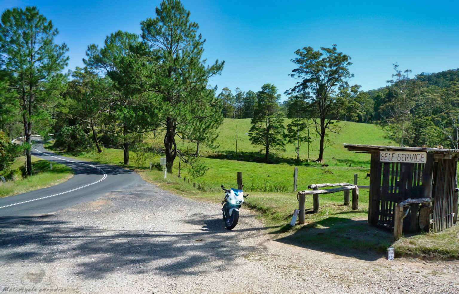
Wonderful old time self serve fruit stalls that still exist. Seems another world just over the border.


This comment has been removed by a blog administrator.
Nice touring / travel story. I appreciate your post "roads less travelled". Great pictures of roads and views.