- Held Spring Ride Gloves - January 5, 2026
- 100 Motorcycle Tours - December 27, 2025
- Bhutan Motorcycle Tour - December 9, 2025
On my Autumn tour I wanted to ride directly north via the Tokyo expressway. That runs underground extensively where a traditional GPS has no signal but some phone navigation apps work underground using cell tower signals so it seemed an opportunity to revisit phone based navigation half a day for a small comparison. But first a public service announcement:
Vibration on handlebars is causing damage to the cameras in latest phones
I want to mention there are growing number of reports here about late model phones mounted on handlebars having their cameras damaged. Constant shaking is affecting new phones, especially ones with sensor based stabilization. The makers of phone mounts are scrambling to promote new anti vibration models but the bars are still going to be bouncing up and down shaking the phones constantly. (phone used in this was my old model prior to updating)
There are many ways to mount a phone to handlebars these days, some with lots of marketing hype on social media and high prices and some simple. I only need a one time mount so got this silicon rubber type.
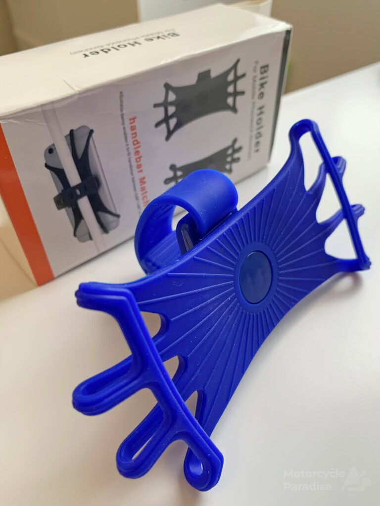
I see them on eBay and Amazon for all sorts of prices but I went to the source and got mine for $1.90 from Aliexpress – including postage from China.
Mounting this phone holder is dead simple via a strap that is wrapped around and pulled tight then held via hook on base. The strap has a ribbed inner section to provide grip and it sat firm not moving the entire time on my bars. The top section can turn 360 (it has been rotated 90 degrees in below photo). I think this sort of mount could be handy for someone fly/riding a rental bike as it would easy adapt to many bars and not mark them or need any tools.
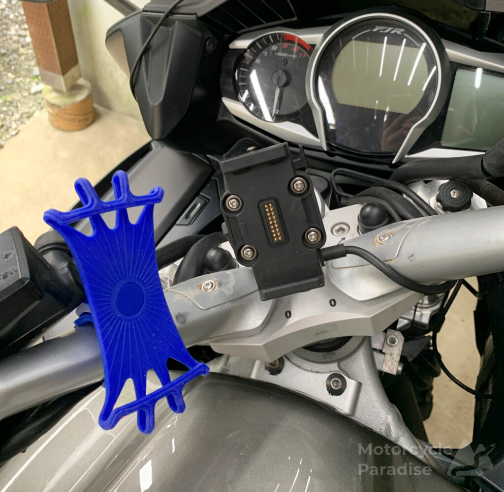
The phone holder uses thick stretch bands to wrap around and secure phone as pictured. It holds it very firmly and it is not possible for the bands to slip off as the tension from the opposite side counters any movement. It’s actually much better than it’s price or looks might suggest. When I ride oversea my Garmin Nuvi and battery sit in a case held on with velcro not nearly as secure as this is.
Elimination process
Most phone apps (and GPS models) are only A to B fastest or most direct route and that is not useful since I meander via scenic back roads and require a custom route. I am seeking fastest route through Tokyo however for this exercise I can still eliminate a few apps prior to the ride for other reasons.
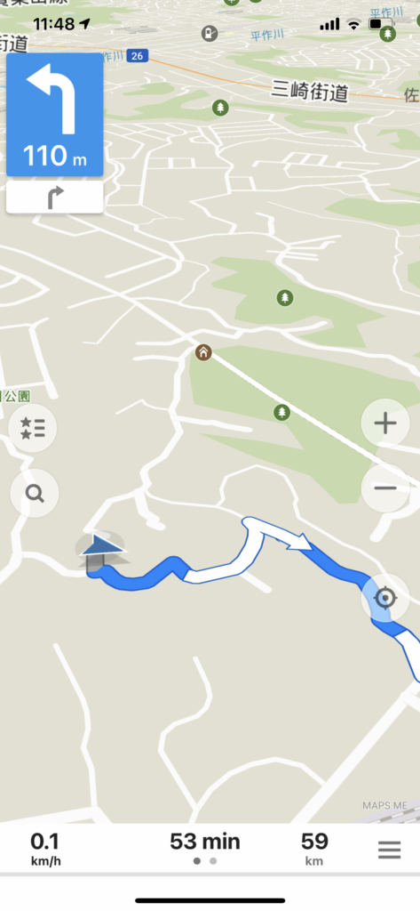
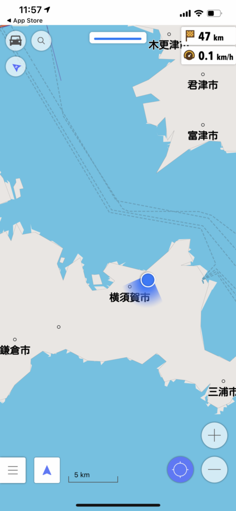
Maps.me is a popular offline map and navigation app. I always have this with map installed for the countries I am travelling to. Now it has become easier to have a sim card and use Google maps but this remains my backup in places where there is no signal outside major centres or in Philippines where internet is non existent. Problem it has here is same I experienced using it in Philippines, it wants to route me via paths that are not for vehicles.
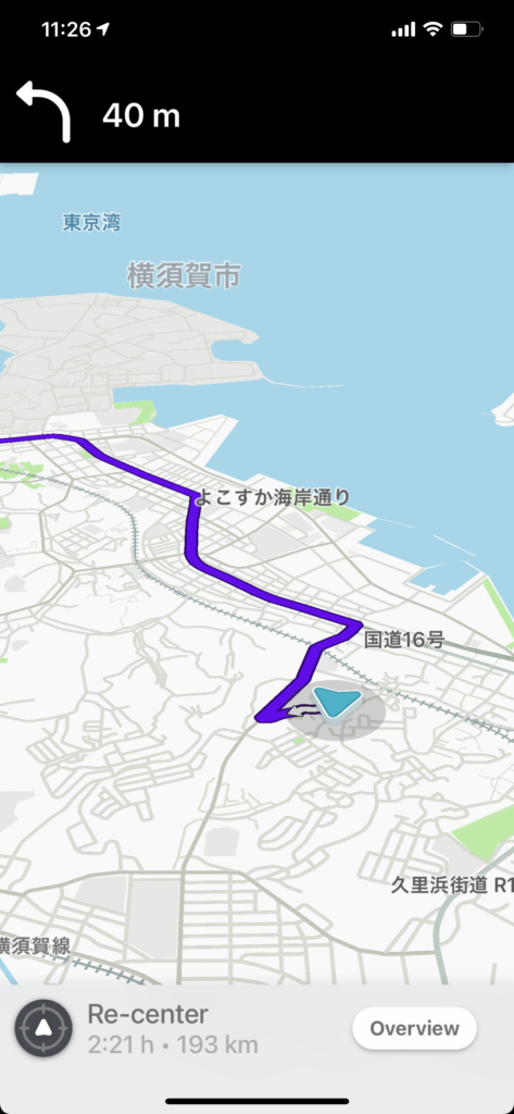
Rever asks you to pay to get turn by turn guidance after one free trial but doesn’t give any better display than Maps.me and wants to route via narrow laneways that I would never ride and ignores the expressway which would be obviously quicker. Waze has the smartest route choice but same basic map display that all these have which is poor compared to my GPS. OSMand asked for payment beyond initial map that wasn’t where I Iive but you can view it’s guidance map online and will see it is similar to the other three. OSMand used to be one of only couple of phone options for navigating a custom route offline back when getting a sim card or data costs were expensive and still has a fanatical user base defending a clunky interface. The other was MotionX that is no longer listed for download.
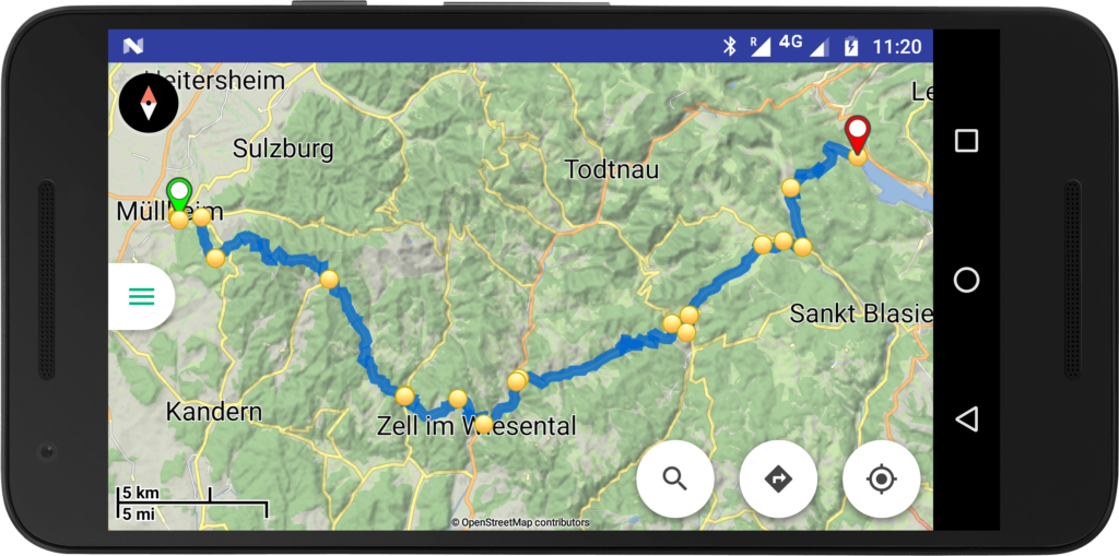
Kurviger is Android only and I looked at it previously on the Android phone I got in South Africa. No screen shot as I’m not using Android phone anymore and it’s turn by turn guidance would require buying the Pro version anyway. If you look on Google Play you can see its map display is similar to the others however Kurviger accepts user defined custom routes and has it’s own route creation software. That route planner unfortunately lacks Street View but otherwise this app and planner is probably the pick of the bunch. Scenic is a popular app in USA but you need to keep buying maps for it when other apps and my GPS can access maps for any country free so I see no reason to look at it again.
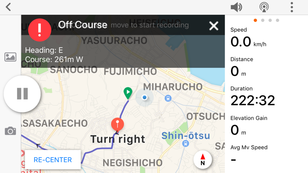
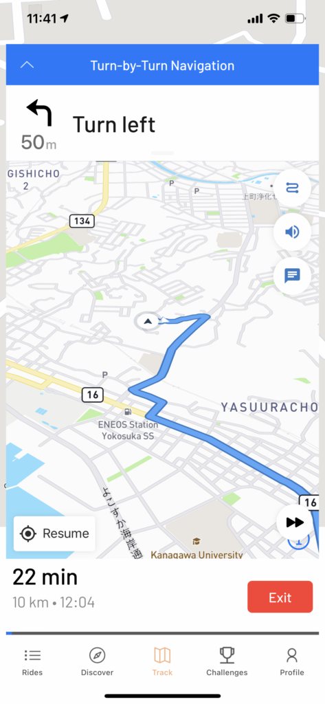
RidewithGPS is the software I create my Garmin routes with and it has it’s own Navigation app that connects seamlessly with all your routes. This is my backup navigation if my Garmin was to fail. It’s turn by turn map display is however the weakest of all these apps.
So I eliminated all of the above apps for this exercise due to either needing to buy maps or features when I will only use it one time or because the turn by turn map display is poor, or both, to focus on two apps I think will be best for me.
Lets get going
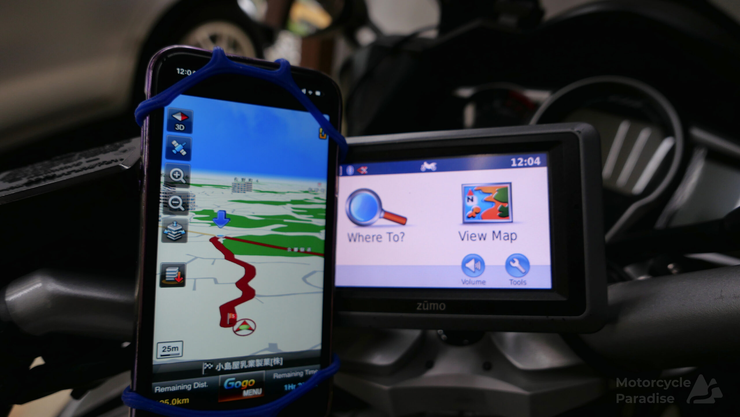
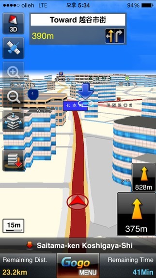
I started the ride using GoGo Navi. This is only phone navi app I have found with a good guidance display. It uses birds eye view with 3D buildings and other roadside items like gas stations so you can easy identify where you are and the next turn. It has proper lane guidance and split screen highway junction guidance. Why am I not using this more? Well it is strictly A to B no custom routes so not useful except days like this. However soon after I set off I find the app hasn’t been updated for years and wanted to reroute me all the time which could be changes to roads or some glitch but I had to stop using it.
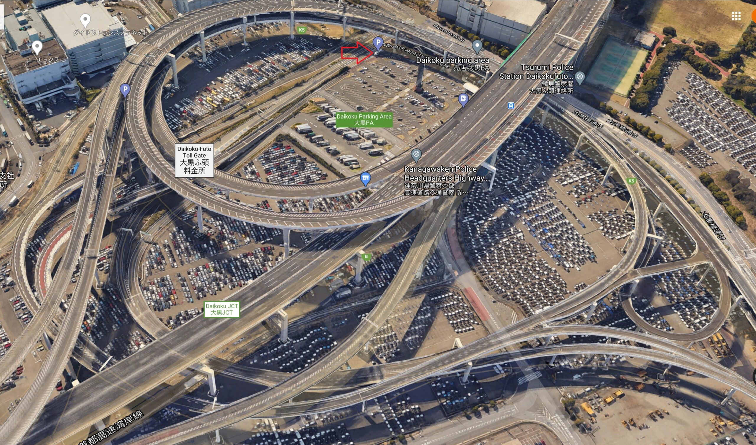
I got stuck in a traffic jam underground and upon resurfacing I exit the fumes to a parking area where the red arrow is pointing but unlike the Google image below on this day all these roads were at standstill.
The other app I thought I would revisit was Google maps navigation which can partly do custom routes with a 10 waypoint limit but best suits A to B. It’s party trick is live traffic which I wish Garmin Japan would update their devices to like other countries. I switched to Google here and could see ahead was gridlock right through to other side of Tokyo so decided to take the Aqua line under Tokyo bay to Chiba for a detour via Narita.
I use Google maps often in towns to find and guide me on foot to a restaurant or metro station or anything I am looking for – it’s great, but that is walking. Today I found it’s map and turn advice not easy to see while riding. Additionally it only has rudimentary lane/junction guidance which was a problem with the spaghetti elevated junctions I had to navigate. It offered nothing for lane guidance most of the time.
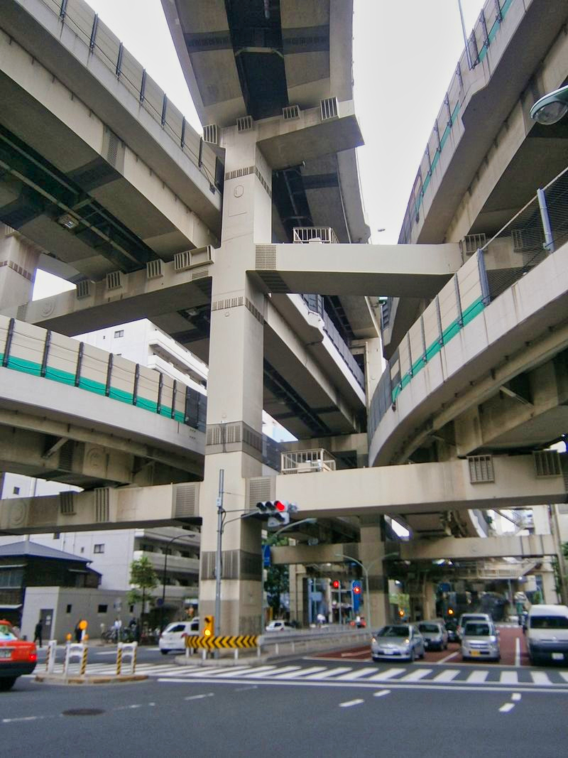
I had my Garmin also running and fortunately it gave me split screen junction guidance for most but not all. Dropping underground the Garmin quickly goes to ‘Lost Satellite’ screen and Google navigation did not stay live via the cell phone signals like GoGo navi so frankly beside the live traffic I can’t say I found it all that helpful.
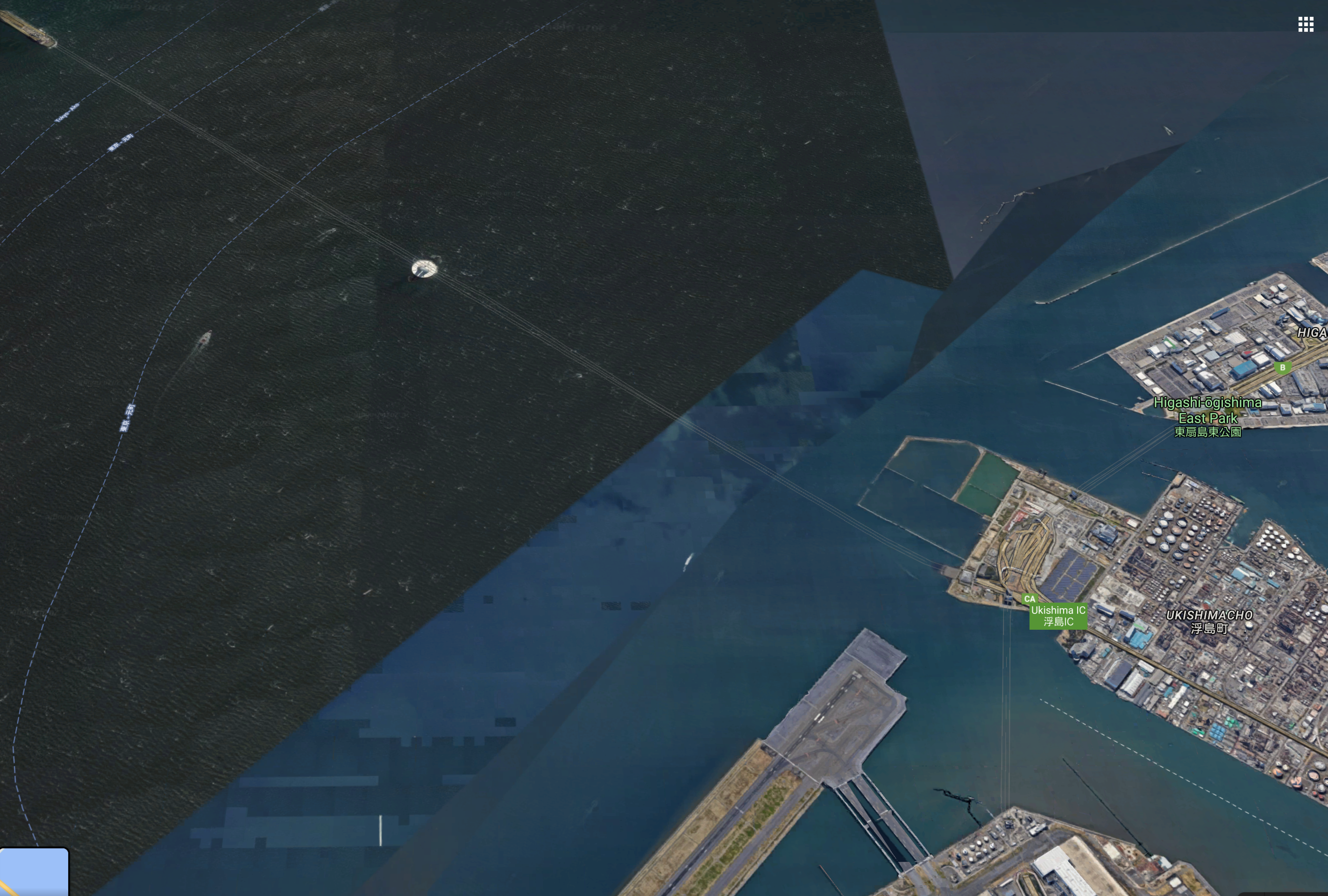
You can see faint lines on map above where roads are underwater. Surfacing to a junction gives little time for GPS to reacquire signal before need to be in correct lane or ramp but fortunately the Tokyo Olympics program has seen a lot of signage improved with visitors in mind and everything is now dual language which helped me get to right lanes.
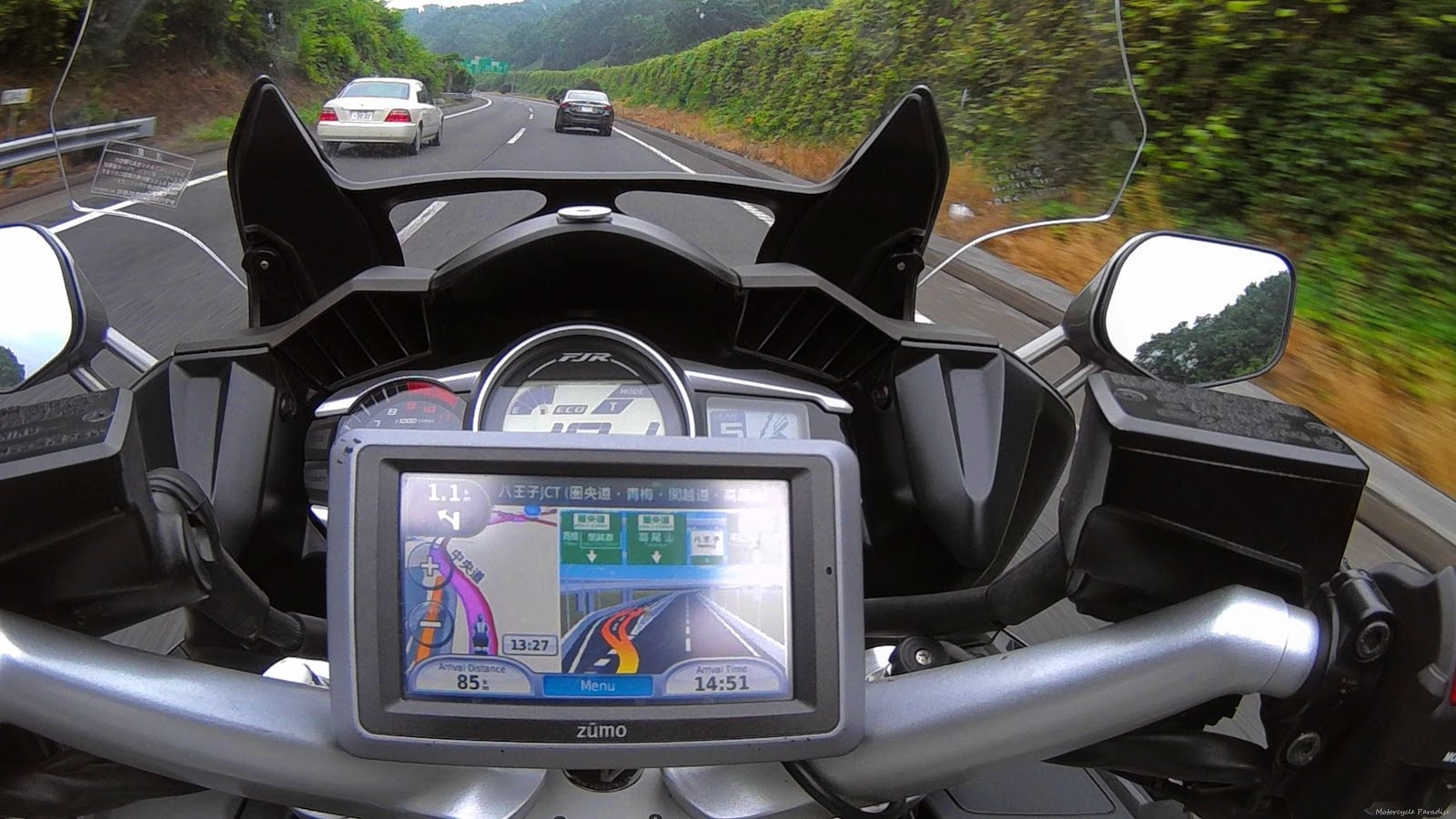
I was very happy to get out of the heavy traffic and relax after such intense riding. I jotted down a few notes which I am referring to now a big one being must not try ride through Tokyo ever again!
People on forums tell me they don’t want to buy a GPS, ‘too expensive’, ‘no need phone is better’. Except it’s not. They pay more for those overhyped quad lock mounts than a 2nd hand Zumo GPS costs. I picked up a used Nuvi 765 other day for $17 just to keep as a spare for my rides overseas. And if you will wreck your new phones camera then you will need to have a second phone for navigation and are not saving money or avoiding carrying two devices.
I could have put my phone in pocket and tried using earphones to ride via turn by turn voice prompts, a method I read some people use and perhaps for city riding that is an option although touring I wear ear plugs.
My main issue with voice guidance is unless you are checking the map you have no idea if you are being taken incorrect way – which machine navigation is infamous for doing (as demonstrated by Maps.me and Rever and GoGo navi in this simple test). I flip between turn by turn map to pan and zoom overview map to confirm where I am but more to confirm navigation is correct and therein lies the other issue I had today.
I was trying to pan and zoom on phone when stuck in traffic to see where the next parking area was. My new gloves are ‘touch screen enabled’ however it remains really difficult. And that was at standstill, moving it was impossible. But I can easy pan and zoom or call up POI search on the Garmin anytime with gloves because it uses resistive touch screen and the on screen buttons and menus are all extra large glove friendly.
Technology marches on, my new phone even takes amazing images in low light but when it comes to navigation I’m still waiting for them to challenge Garmin which I thought would have happened long ago and I’d be riding with live traffic and live weather for my route ahead with detour suggestions if there is a storm and Street View photo guidance for junctions. Guess there is not enough money in it and easier to make apps for putting cartoon bunny ears on selfies.
